I decided to hike part of the Appalachian Trail this year. I made it forty miles before my heels couldn’t take it anymore (bad shoes), but loved the experience and learned a lot. This post is pretty niche, but it’s for people who are interested in walking part of the trail.
When I was preparing, the best advice I read was “Just show up in Atlanta with any gear at all, and it will be fine”. I think that’s actually true, and I met several people who had clearly done that. However, this is some advice for someone who wants to know what to expect and have the best time possible. I’ll be doing a separate gear post with gear recommendations, so this will be about the mechanics of actually doing it.
It’s actually not that easy to get to the beginning of the AT because it’s technically on the top of a mountain in the middle of the woods. The two main ways to do it are to hike the approach trail from Amicalola State Park or to get dropped off on USFS 42 where it crosses the AT at around mile one. Going in I thought it was really important to start at Amicalola, but in retrospect I think the other method might be better.
The Amicalola hike is extremely difficult and it would have been nice to apply those miles to the actual AT. On the other hand, you get the classic picture at the Amicalola arch, and the waterfall is one of the most beautiful things I saw on my whole hike.
If you did the mile 1 thing, you could be camping within 30 minutes of hiking, and then start at mile zero the next day. Instead I stayed at a hotel, hiked the approach trail, camped, and only then started the AT on my third day in Atlanta.
Either way, fly into Atlanta (put your backpack in a throwaway duffel bag or a free stroller bag from the airline), take the MARTA train to the end, and go to Perimeter to get ready. Perimeter has an REI, many restaurants, and many hotels all in walking distance. I walked two miles from the train station to Best Buy, REI, a restaurant, and then my hotel. From Perimeter it’s cheaper to take an uber to Amicalola than a shuttle service (more on those later), which is more convenient (maybe $70 or so).
You can figure out the best time to hike various parts of the AT using this heat map. I decided to go right after the bubble of through-hikers because I wanted to meet people, but didn’t want it to be too crowded. In retrospect, I think there’s likely plenty of space in all but the most busy days. It was pretty hot when I went, and I was wishing I went earlier just for cooler temps.
I think it’s a really good idea to buy the lightest gear possible (I would, wouldn’t I?), but I would actually overpack food next time. Every day I ate a tiny oatmeal packet, a few Larabars, nuts, and a big Peak Refuel camping meal. This wasn’t nearly enough food or enough variety, and was too healthy. I like Larabars, but it’s just tedious to eat them all day. Nuts are good but don’t provide immediate energy. I just had no idea how much energy I would be burning (and didn’t realize it was all up and down hills). Next time I would bring something substantial for lunch like tortillas, peanut butter, and honey, and I would actually bring a bunch of candy to eat while hiking. Sounds crazy, but I think the immediate sugar in the bloodstream would help tremendously.
When in doubt, stop and have a snack. Sometimes I would try to just power through because I didn’t want to waste time, but pausing and refueling increased my speed by 50-100%, so it was well worth the stop. The hikers I met who hiked the most miles stopped every day for lunch.
On the other hand, you need way less water than you might expect. I had two 1.5L bottles and I had them totally full the first day. That’s about 7 extra pounds to carry up all the mountains. For reference, my base weight without food and water was around 15 pounds. Download the FarOut app, which shows where water sources are, and only carry enough water to get to the next water source. By the last day I was only hiking with about 1-1.5 liters and I would try to drink as soon as I was thirsty to make the pack even lighter. I would also drink a lot of water every time I refilled so I could use it immediately and not carry it on my back.
Speaking of weight, figure out how to adjust the straps on your backpack before you hike. My shoulders killed me the first two days, and then a girl showed me that my load lifter straps were too tight, and the next day brought immediate relief.
When planning, I’d start with about 8 miles per day as a goal. I felt ok after 9 the first day so I did 15 the next day, and after that I was destroyed. For the first few days, only stay at shelters. You’ll still sleep in your tent (I didn’t understand this until I got there), but they have the most amenities and make life easy. There are bear boxes so you don’t have to hang your food, outhouses, water sources, etc. There are also lots of really smart and helpful people at the shelters.
The shelter itself is a building with three walls, so bugs and animals can still get in. I guess people sleep in them sometimes, but everyone I saw just pitched a tent in one of the spots nearby. Even random tent sites on the side of the trail are pretty flat and have few rocks and roots.
There’s really not much you have to worry about on the trail. People offered me water and food several times. It would be easy to use someone else’s stove or water purifier if yours broke. It sometimes seems like no one else is on the trail, since most people move at a similar speed, but once you stop you’ll see people pass you. The trail also goes through many local parks, so there are a ton of day hikers, especially on certain days.
I’m sure everyone is different, but I was surprised at how much my cardio improved over four days. I was really huffing and puffing on day one, and my heart felt like it was beating out of my chest, but by day four I did the biggest mountain yet with no issues. So if you feel like you can’t do it, stick it out for a little while. I was also incredibly sore every morning, but I found that I could still hobble along and after a mile or two I was warmed up and didn’t feel the soreness anymore.
I was also surprised at how much cell service I had on the trail. With T-Mobile I’d say that I had coverage about 60-80% of the time. I also subscribe to the T-Satellite service, and that covered the rest of the trail. Signal wasn’t great, but it was enough. I wouldn’t bother with one of those emergency satellite things some people carry.
I saw one rattlesnake, which was terrifying, but apparently it’s extremely rare to see a rattlesnake. No one I met had seen a bear, and I think the danger of bears is exaggerated to make sure people do smart things like hanging/locking up food so that bears don’t become an actual problem. There are reports of mice in shelters, but I didn’t see any personally. There are bees, butterflies, and flies, but nothing too annoying.
When it’s time to leave, you can call shuttle companies. They’re familiar with all of the crossing points of the AT and will come get you. There are a lot of them, so if you call a few you can probably get picked up within 30-60 minutes from just about any reasonable point. There are definitely some days where you don’t cross anywhere they could get you, but I’d say every 2-3 days it’s possible. If you just search the internet you can find them.
If you’re on the fence about hiking part of the AT, you should really just go do it. It’s an adventure with really limited downside, and even though I was only on the trail for four days I feel like I got a couple week’s worth of memories and adventure.
###
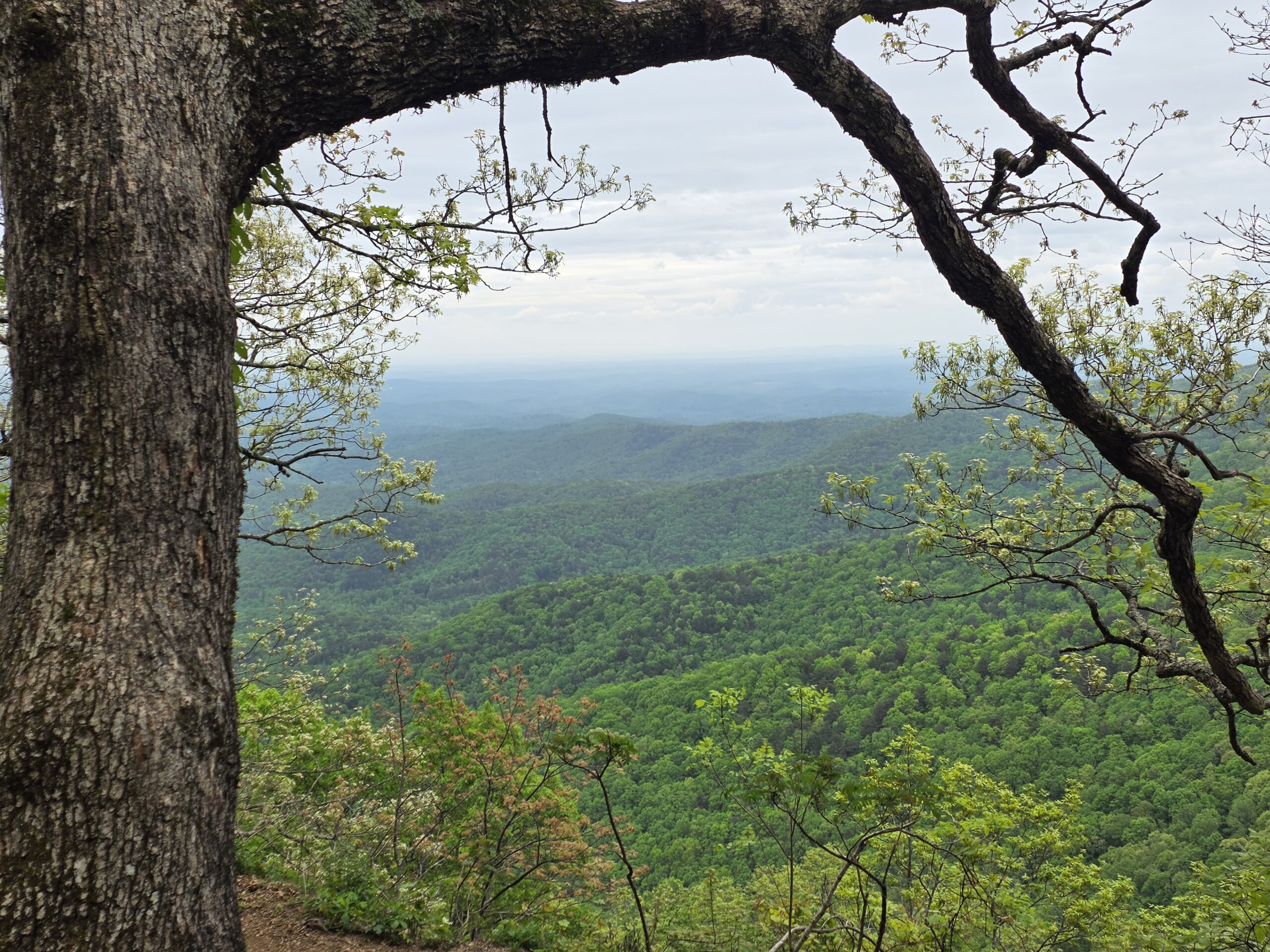
Photo is a random good view along the way.
I got the photos taken for the AT gear post, so that will come in a week or two. Look at this posting frequency!
Leave a Reply